01 The range and the road
The Sangre de Cristo mountains are the southernmost subrange of the Rockies, running from southern Colorado down to Glorieta Pass just east of Santa Fe. Above the city the crest carries a line of peaks over 12,000 feet: Santa Fe Baldy at 12,622, Deception Peak at 12,308, Lake Peak at 12,409, Penitente Peak at 12,249, Tesuque Peak at 12,047. Behind them lies the Pecos Wilderness, more than 220,000 acres of protected high country.
The access is NM 475, Hyde Park Road, which leaves the east side of the city and climbs sixteen miles to the ski area base at 10,350 feet, gaining about 2,700 feet on the way. Every trailhead in this chapter is either in the foothills at the bottom of that road or somewhere along it. Hyde Memorial State Park sits at about 8,500 feet, eight miles up, and is a useful marker: at Hyde you are already higher than most of the mountains east of the Mississippi.
02 The altitude arithmetic
This is the section that matters most, and the one visitors skip. Santa Fe is at 7,199 feet. The ski basin trailhead is at 10,250. Lake Peak is at 12,409. Between the city and that summit you gain more than 5,000 feet, and the air at the top holds roughly sixty percent of the oxygen it holds at sea level.
| Elevation | Where that is | Roughly, as a share of sea level |
|---|---|---|
| 7,200 ft | The Plaza | About 77 percent |
| 8,500 ft | Hyde Memorial State Park | About 73 percent |
| 10,350 ft | Ski Santa Fe base | About 68 percent |
| 12,400 ft | Lake Peak | About 62 percent |
The practical translation is straightforward. A hike you would call moderate at home is hard here for the first week. Halve your expectations for the first two days, drink far more water than thirst suggests, and do not attempt a 12,000-foot summit on day one of a trip from sea level. The acclimatization timeline explains what your body is actually doing in that first week.
03 Foothill walks
Two options that need no drive up the mountain, both good acclimatization days.
The Dale Ball Trails are about twenty-five miles of signed singletrack through piñon and juniper on the hills behind the city, with numbered junctions that make navigation unusually easy. Trailheads at the top of Canyon Road, at Sierra del Norte and on Cerro Gordo. Rolling rather than steep, big views west, and easy to sample for an hour or commit to for four.
Atalaya Mountain, trail 174, starts by St John's College at the edge of town and climbs to a 9,121-foot summit. Around six miles round trip with roughly 1,700 feet of gain: a real climb, steep in its upper half, entirely within the city's back yard, and the standard local test piece. In summer, start early.
04 High trails from NM 475
Three trails along the mountain road, in ascending order of seriousness.
Chamisa Trail, trail 183, leaves the road about five and a half miles up. A modest four to five miles through mixed forest with a saddle and a descent to Big Tesuque Creek. The gentlest introduction to the high country and pleasant in any season with no snow.
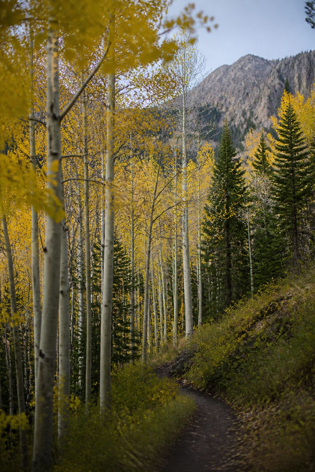
Aspen Vista, trail 150, starts at about 10,000 feet some thirteen miles up the road. It follows a gravel service road towards Tesuque Peak: about twelve miles round trip and 2,000 feet of gain to the top, but it is entirely satisfying to walk the first two or three miles and turn round. In late September and early October the aspen here is the reason the parking area overflows. Go on a weekday.
The Winsor Trail, trail 254, starts from the ski area parking at about 10,250 feet, climbs to a saddle and drops into the Pecos Wilderness. It is the gateway to everything behind the crest. A round trip to Nambé Lake, a small cirque lake under Lake Peak, runs around seven miles with roughly 1,500 feet of gain and is one of the finest half-days in northern New Mexico.
05 The peaks
Santa Fe Baldy, 12,622 feet, is the big one: usually done from the ski basin over the Winsor saddle, around fourteen miles round trip with substantial gain, and a full and committing day. Lake Peak and Penitente Peak are reached from the same saddle along the ridge, shorter but exposed. Raven's Ridge, running from the ski area up towards Lake Peak, is the direct and steep line.
Everything above the trees shares one constraint: you must be off the ridge before the afternoon storms build. In monsoon season that means starting at first light and turning around at a fixed time whether or not you have reached the top. It is the discipline that separates people who hike these mountains regularly from people who tell alarming stories about them.
06 The six at a glance
| Trail | Round trip | Gain | High point | Character |
|---|---|---|---|---|
| Dale Ball (sampler loop) | 2 to 6 mi | 300 to 900 ft | about 7,900 ft | Foothill singletrack, numbered junctions, easy navigation |
| Atalaya Mountain (174) | about 6 mi | about 1,700 ft | 9,121 ft | Steep upper half, from the edge of town, no drive |
| Chamisa (183) | 4 to 5 mi | about 800 ft | about 8,700 ft | Gentle forest walk from NM 475 |
| Aspen Vista (150) | up to 12 mi | up to 2,000 ft | about 12,000 ft | Gravel service road, famous for autumn aspen |
| Winsor to Nambé Lake (254) | about 7 mi | about 1,500 ft | about 11,400 ft | Wilderness gateway, cirque lake, half a day |
| Santa Fe Baldy | about 14 mi | about 3,300 ft | 12,622 ft | Full committing day above tree line |
Parking at the NM 475 trailheads fills on summer and autumn weekends, and Hyde Memorial State Park charges a day-use fee. Arrive early or come midweek.
07 Safety: lightning, water, wildlife
Four hazards, in descending order of how likely they are to affect you.
- Lightning is the serious one. From July to mid-September, cells build over these peaks most afternoons. Be below tree line by noon. If you can hear thunder you are already too close, and a ridge is the worst possible place to be.
- Dehydration and altitude come next, and they compound. Carry more water than you would at home, and treat any water you take from a stream.
- Weather change. A twenty-degree drop and a hail shower can arrive in twenty minutes at 12,000 feet in July. Carry a shell and a warm layer regardless of the forecast at the trailhead.
- Wildlife. Black bears are present, and there are no grizzlies in New Mexico. Mountain lions are present and rarely seen. Neither is a reason to stay home; store food properly and make noise on blind corners.
Mobile coverage above the trailheads ranges from patchy to absent. Tell somebody your route and your expected return, and carry a paper map. There is no substitute, and the car checklist covers what to leave in the vehicle.
08 Wilderness rules
The Pecos Wilderness is designated wilderness, which carries real legal restrictions: no bicycles, no motorized equipment, no wheeled carts, and group size limits. Camping is dispersed and subject to distance rules from water and trails. Fire restrictions are common in spring and early summer and are enforced.
Beyond that, the ordinary courtesies apply with more weight because these trails are heavily used: pack out everything including fruit peel, stay on the trail through the alpine meadows where recovery takes decades, yield to horses, and keep dogs under control. Some trails cross onto Pueblo land or private inholdings; respect the signs, and turn around when asked.